ILOILO City – The Mines and Geosciences Bureau (MGB) Region 6 emphasized the importance of geological hazard maps in the disaster preparedness measures of local government units (LGUs) and the public.
MGB-6 Geosciences Division chief Mae Magarzo said the bureau, as an attached agency of the Department of Environment and Natural Resources (DENR), is mandated to conduct assessments of hydrometeorological hazards.
These hazards, according to her, include rain-induced landslides and flooding.
“We started with the National Geohazard Mapping Program way back in 2005 and continued up to the present,” Magarzo said.
Ffrom 2005 to 2010, they conducted 1:50,000 scale geohazard mapping for landslide and flood susceptibility across the country. It was then followed by a detailed geohazard assessment and mapping from 2011 to 2014.
All the 133 cities and municipalities in Western Visayas were assessed and mapped, and were the recipient of the 1:10,000 scale geohazard maps for landslide and flood susceptibility.
“Right now, we started with the updating of the geohazard maps of all the municipalities and cities covered by the region. We started it with the vulnerability risk assessment (VRA) of three elements. So, we are producing the risk exposure maps for population, build-up areas, and road networks,” said Magarzo.
Five towns are being targeted to be accomplished for VRA this year. These are San Joaquin in Iloilo and Buenavista, Sibunag, San Lorenzo, and Nueva Valencia in Guimaras.
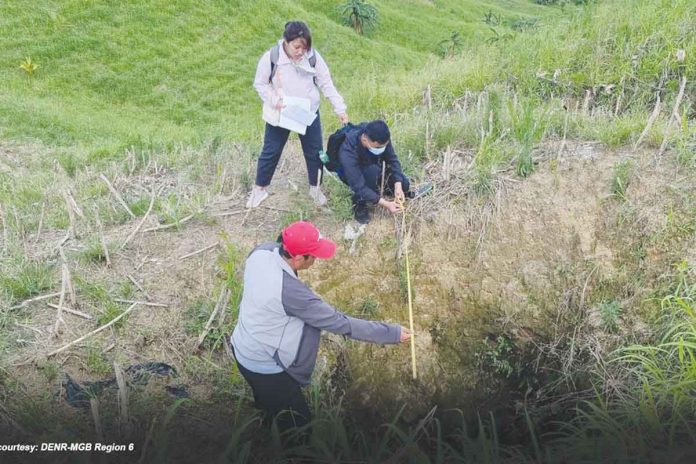
Aside from VRA, MGB-6 is also conducting the Karst Subsidence Hazard Assessment (KSHA) which maps and promotes awareness of the various sinkholes, and the Coastal Geohazard Mapping and Assessment (CGMA) which aims to identify potential geohazards affecting coastal areas in the region.
Under the KSHA, the target to cover the town of Dingle in Iloilo province, while the CGMA covers the eight municipalities from Guimbal, Iloilo to San Jose de Buenavista, Antique.
Meanwhile, Magarzo stressed that “the purpose of the geohazard mapping and assessment is to serve as a tool for LGUs in the crafting of their respective Comprehensive Land Use Plans and Disaster Risk Reduction and Management Plans.”
These will be the guide of the local authorities to determine areas prone to certain hazards for preparedness measures and will give them the direction as to where their developmental plans shall be put up.
As a reminder, she advised the LGUs to make use of and consult these geohazard maps, especially this season when hydrometeorological hazards are being anticipated. (PIA-6/PN)


