


ILOILO City – The Mines and Geosciences Bureau (MGB) of the Department of Environment and Natural Resources (DENR) in Western Visayas is currently in the island province of Guimaras assessing the vulnerability and risk of the municipalities there to landslides and floods.
Two teams composed of geologists dispatched to Buenavista and Nueva Valencia towns for the vulnerability and risk assessment (VRA).
A technical team will also proceed to Sibunag town to complete the VRA this year.
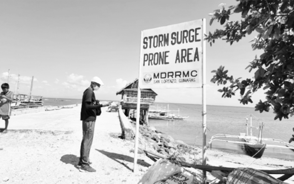
MGB already completed the VRA of San Lorenzo town including that of the municipality of San Joaquin in Iloilo province in the first semester this year.
The VRA is a continuing program of the MGB in line with the agency’s geological risk reduction and resiliency program.
The VRA is an assessment of the degree of vulnerability and potential risks of an area given the exposure of the three factors – population, built-up areas, and roads – to rain-induced landslides and floods, said Mae Magarzo, chief of the Geosciences Division of MGB Region 6.
According to Magarzo the 1:10,000 geohazard maps of MGB as a reference give the data on the vulnerability of barangays and sitios to rain-induced landslides and floods.
The level of vulnerability may be low, moderate, high, or very high.
Exposure maps from the VRA give data on the population (potential), the extent of built-up areas, and roads considering their exposure to the varying levels of vulnerability to landslides and floods.
MGB is working closely with the local government units in Western Visayas in the conduct of its field activities, said Magarzo. (PIA-Iloilo/PN)
![“I call upon our faithful in the Archdiocese to offer prayers for his [Pope Francis] eternal repose. What remains now is to continue to pursue the dream he cultivated — that God is near and journeys with us," says Jaro Archbishop Midyphil Billones. JARO METROPOLITAN CATHEDRAL PHOTO](https://www.panaynews.net/wp-content/uploads/2025/04/archbishop_1_resized-218x150.jpg "Jaro archbishop calls for prayers following death of Pope Francis")